


What is a Navigation module based on comparing drone camera images with satellite imagery?
Can you provide a navigation module that uses downward-facing drone camera images to compare against stored satellite imagery? It is estimated that the customer’s demand is that there is no GPS positioning or GPS positioning is only based on the backup solution.
To develop a navigation module for a drone that compares real-time downward-facing camera images with pre-stored satellite imagery, follow this structured approach:
Table of Contents
1. System Architecture
- Components:
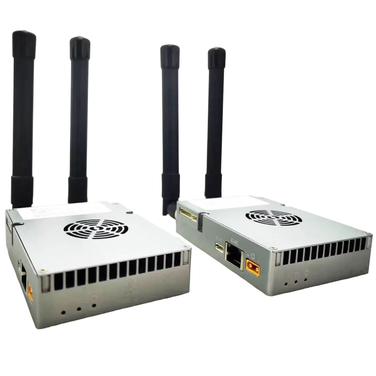
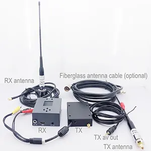
- Real-Time Image Capture: Downward-facing camera with adjustable resolution/FOV, synchronized with altitude sensors (e.g., barometer, LiDAR).
- Satellite Image Database: Geotagged tiles stored at multiple resolutions, indexed by GPS coordinates for rapid retrieval.
- Processing Unit: Onboard GPU/FPGA for accelerated image processing.
- Sensor Fusion: Integrates GPS, IMU, and visual data for robust positioning.
2. Workflow
- Initialization:
- Use coarse GPS to fetch relevant satellite tiles from the database.
- Calibrate using altitude data to scale drone images to satellite resolution.
- Image Preprocessing:
- Convert images to grayscale, apply histogram equalization, and edge detection (e.g., Canny).
- Correct perspective distortion using drone pitch/roll data.
- Feature Matching:
- Detectors: Use ORB or SURF for balance between speed and accuracy.
- Matchers: FLANN with RANSAC to filter outliers and compute homography.
- Position Estimation:
- Derive GPS offset from homography matrix.
- Fuse with IMU data via Kalman Filter for smooth trajectory updates.
- Fallback Mechanism:
- Switch to visual odometry or GPS if satellite matches fail (e.g., unmapped areas).
3. Technical Considerations
- Altitude Scaling: Dynamically adjust image scaling using real-time altitude.
- Database Optimization:
- Tile satellite imagery into 100x100m chunks with multiple zoom levels.
- Cache frequently accessed tiles to reduce latency.
- Real-Time Performance:
- Limit processing to 500ms per frame; downsample images if needed.
- Prioritize keyframes (e.g., process every 5th frame) during high-speed flight.
4. Testing & Calibration
- Accuracy Metrics: Compare visual estimates against RTK-GPS ground truth.
- Environmental Robustness:
- Test across seasons/lighting; use histogram normalization to mitigate lighting changes.
- Exclude transient features (cars, shadows) via semantic segmentation (optional).
5. Example Scenario
- Drone at 50m altitude:
- Captures 640×480 image (0.5m/pixel resolution).
- Matches to satellite tile “XYZ123” using 200 ORB keypoints.
- Homography yields 2m offset from tile’s geotag (34.0522°N, 118.2437°W).
- Kalman filter fuses this with IMU, outputting corrected position 34.05219°N, 118.2436°W.
6. Challenges & Solutions
- Dynamic Environments: Mask moving objects using ML models (YOLO).
- Compute Limits: Use hardware-accelerated ORB on Jetson TX2.
- Storage: Compress satellite tiles using WebP (lossless mode).
7. Tools & Libraries
- OpenCV: For feature detection/matching.
- ROS: Modular pipeline integration (e.g.,
ros_navigationnode). - PostgreSQL/PostGIS: Efficient geospatial tile queries.
8. Expected Performance
- Position Accuracy: 1-3m in optimal conditions.
- Update Rate: 2 Hz (with 640×480 input on mid-tier GPU).
This design balances accuracy and computational efficiency, leveraging sensor fusion and adaptive image processing for reliable navigation.
Ask A Question
Thank you for your response. ✨