

UAV Recovery RF Beacon Tracker (Non-GSM / Non-Satellite, Anti-Interference Design)
目次
説明
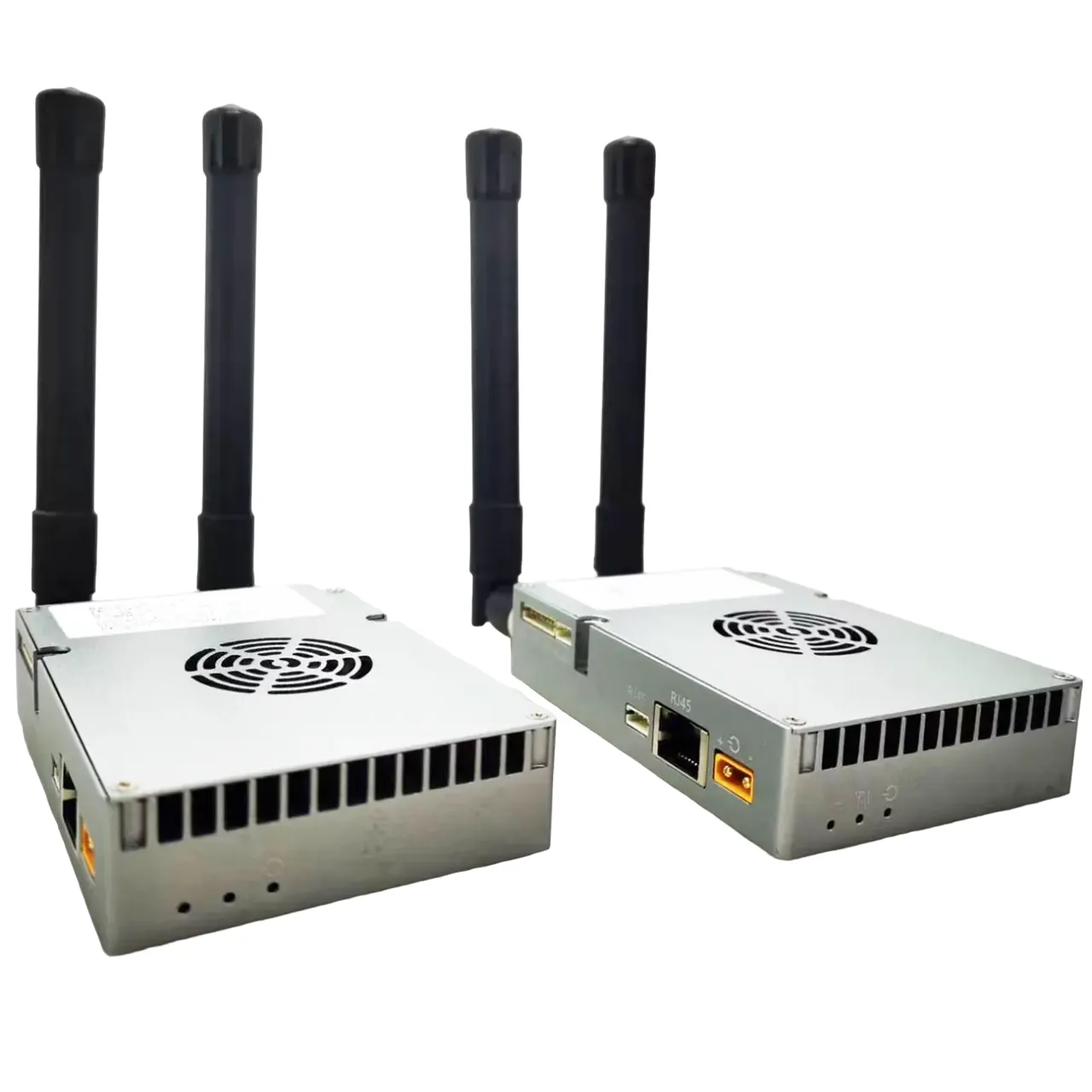
The UAV Recovery RF Beacon Tracker is a specialized tracking solution designed for drone operations in remote and challenging environments where GSM and internet connectivity are unavailable.
Unlike conventional GPS or satellite trackers, this device utilizes a low-power RF beacon technology to ensure zero interference with UAV navigation systems.
In the event of a crash, the tracker automatically activates and transmits a recoverable radio signal, enabling rapid location of the UAV even in dense vegetation or water environments.
概要
This tracker is purpose-built for UAV recovery in forestry, 採掘, and off-grid operations.
Traditional satellite trackers often transmit high-power signals that may interfere with onboard GNSS systems, leading to flight instability or unintended failsafe triggers.
To address this issue, the UAV Recovery RF Beacon Tracker adopts a passive-safe architecture during flight and activates only after a crash or power loss is detected.
By combining ultra-low power RF transmission with robust waterproof housing, the system ensures reliable post-crash recovery without compromising flight safety.
特徴
Zero GNSS Interference
- RF beacon operates on dedicated frequency bands
- No impact on UAV GPS or flight control systems
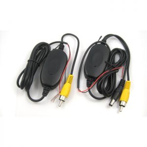
Crash-Activated Transmission
- Automatic activation via:
- Impact detection
- Power disconnection
- Ensures signal is only transmitted when needed
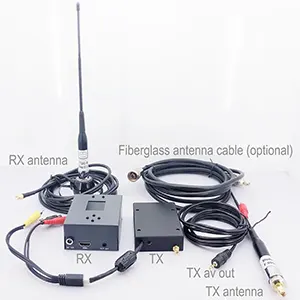
Long-Range RF Beacon Tracking
- Directional tracking using handheld receiver
- Typical range: 3–15km (depending on terrain)
Ultra-Low Power Consumption
- Continuous transmission for several days after crash
- Optimized for long-duration recovery missions
防水 & Rugged Design
- IP67 / IP68 protection level
- で動作します:
- Heavy rain
- Wetland
- Water immersion scenarios
軽量 & コンパクト
- Designed specifically for UAV payload constraints
Optional Audible Buzzer
- Assists in close-range recovery in dense vegetation
仕様
| パラメータ | 仕様 |
|---|---|
| 位置決め | Optional GNSS (logging only, no transmission during flight) |
| Communication | RF Beacon (VHF / UHF / 433 MHz オプション) |
| 送信電力 | Low-power (設定可能) |
| Activation Mode | Crash / Impact / Power loss |
| Tracking Range | 3–15km (line-of-sight dependent) |
| バッテリー寿命 | 48–120 hours (post-activation) |
| 防水定格 | IP67 / IP68 |
| 重量 | < 100 グラム (カスタマイズ可能な) |
| 動作温度 | -20°C ~ +60°C |
| 取り付け | 外部の / embedded UAV mount |
| オプション機能 | Buzzer, LED strobe, data logging |
アプリケーション
UAV Operations
- Forestry mapping
- Surveying & 検査
- BVLOS missions
- Agricultural drones
リモート & Harsh Environments
- Dense forest areas
- Mountain regions
- Wetlands and rivers
Industrial Use Cases
- Mining operations
- Pipeline inspection
- Infrastructure monitoring
Recovery & 安全性
- UAV crash recovery
- Equipment tracking in off-grid areas


iVcan.com –
We are currently exploring GPS tracker options to support our UAV operations.
As background, our operational areas are in remote forestry sites where internet connectivity is unavailable, and in many locations, there is also no GSM signal at all.
Based on our experience, when a UAV crashes, the unit often falls into dense vegetation, making it extremely difficult to locate and sometimes requiring several days of searching.
To enhance our recovery capability, we are seeking your recommendation on a tracker model that is suitable for these challenging conditions.
Previously, we tested several satellite-based GPS trackers that transmit location data every 30 分.
しかし, during UAV operations, these devices caused communication interference with the drone’s GPS system, which repeatedly triggered the failsafe Return-to-Home function.
Considering these challenges, we would appreciate your advice on the most appropriate and reliable tracker solution for UAV operations in remote, non-GSM, and non-internet environments.
Ideally, the tracker should also be waterproof so that, in case the UAV falls into water, the unit can still be located.