
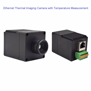
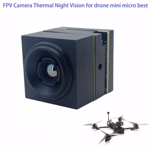
一個 thermal camera for drones is a specialized imaging device that captures infrared radiation (熱) 而不是可見光, enabling the detection of temperature differences in objects and environments. 當安裝在無人機上時, it provides real-time aerial thermal imaging for applications like search and rescue, infrastructure inspections, 消防, and wildlife monitoring. Here’s a detailed breakdown:
關鍵零件
- 熱感應器
- Uses a microbolometer to detect infrared radiation (wavelengths: 8–14微米).
- Common resolutions: 160×120 (low-end) 到 640×512 (high-end).
- 溫度範圍: 通常 -40°C to +550°C (expandable to +2000°C for industrial use).
- 鏡片
- Made of germanium (transmits IR light) with fixed or adjustable focal lengths (例如, 9毫米, 13毫米).
- Wide field of view (FoV) for broad coverage or narrow FoV for detailed inspections.
- Software Integration
- Real-time temperature analysis (例如, spot meters, area alerts).
- Color palettes (鐵弓, grayscale, fusion with visible-light images).
- Drone Compatibility
- Designed for popular platforms like DJI Matrice, Autel EVO, or custom FPV drones.
- 輕的 (100–300g) to avoid exceeding drone payload limits.
Top Applications
- 搜救 (SAR)
- Locate missing persons or animals in darkness, 多霧路段, or dense foliage.
- 消防
- Identify hotspots in wildfires or structural fires through smoke.
- Building Inspections
- Detect heat leaks, electrical faults, or HVAC inefficiencies.
- Agriculture
- Monitor crop health, irrigation leaks, or livestock.
- Wildlife Conservation
- Track animals at night without disturbing them.
- 工業檢驗
- Survey solar panels, 管道, or power lines for defects.
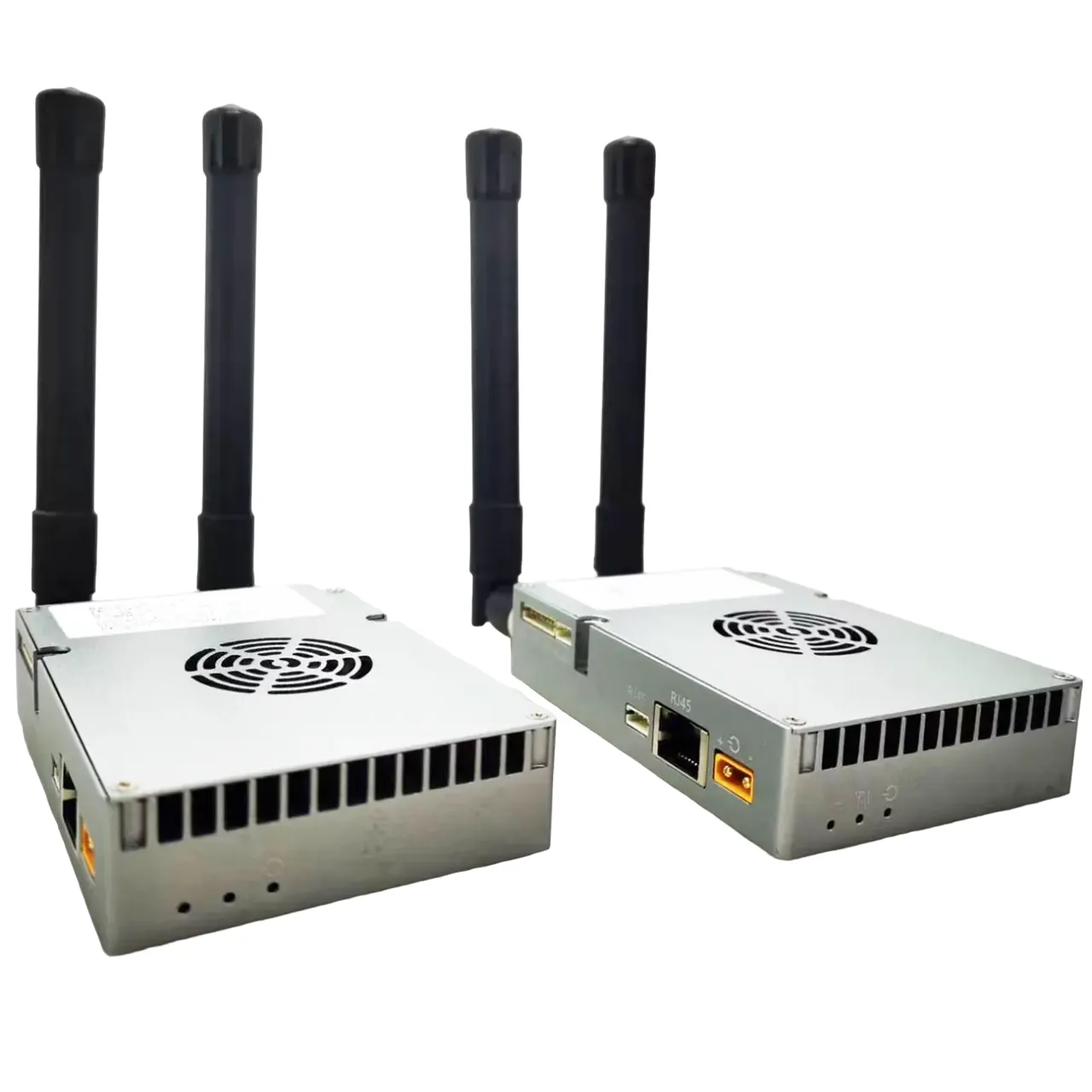
Integration with Drones
- 安裝: Attached via gimbal (stabilized) or fixed bracket.
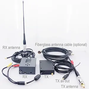
- Live Streaming: Transmits thermal video to a ground control station or goggles.
- Data Logging: Saves radiometric data (temperature metadata) for post-analysis.
- Payload Systems: Some drones pair thermal cameras with RGB cameras, LiDAR, or gas sensors.
技術規格
| 特徵 | Entry-Level | Professional-Grade |
|---|---|---|
| 解決 | 160×120 to 320×240 | 640×512 or higher |
| 幀率 | 9 赫茲 | 30–60 Hz (smooth video) |
| 熱敏度 | ≤50 mK (NETD) | ≤20 mK (sharp detail) |
| Accuracy | ±2°C | ±1°C or better |
Popular Models
- DJI Zenmuse H20T
- Combines 640×512 thermal, 12MP zoom, and laser rangefinder.
- FLIR Vue Pro
- 輕的 (132G), 336×256 resolution, compatible with drones.
- Autel EVO II Dual 640T
- Dual thermal (640×512) and 8K visual camera in a consumer drone.
- Teledyne FLIR Tau 2
- Military-grade 640×512 sensor for high-stakes missions.
好處
- See the Invisible: Operate in total darkness, 抽煙, 或有霧.
- Non-Contact Inspections: Assess hazardous areas safely.
- Quantitative Data: Measure temperatures for predictive maintenance.
- 節省成本: Prevent failures in energy, 農業, or infrastructure.
限制
- 成本: High-end thermal cameras cost 5,000–20,000+.
- 解析度限制: Lower detail compared to RGB cameras.
- Environmental Interference: 雨, 灰塵, or extreme cold can reduce accuracy.
- Regulations: Drone flights may require permits for thermal imaging in certain areas.
Buying Considerations
- 解決: 更高解析度 (640×512) for detailed inspections.
- Radiometry: Ensure it captures temperature data (not just images).
- Drone Compatibility: Check weight, gimbal support, and software integration.
- 軟體: Look for AI analytics (例如, automatic hotspot detection).
範例用例
A firefighting team deploys a drone with a 640×512 thermal camera to map a wildfire. The camera’s ironbow palette highlights intense heat zones (>300℃), while the live feed helps direct water drops and evacuations. Post-flight, the radiometric data identifies smoldering hotspots needing follow-up.
簡而言之, 一個 thermal camera for drones transforms aerial platforms into powerful tools for heat-based analysis, bridging the gap between human vision and infrared reality. Whether saving lives or optimizing infrastructure, it unlocks insights that visible light alone cannot provide.

第一視角相機
第一視角相機


人工智能網絡攝像機