


A thermal camera for drones is a specialized imaging device that captures infrared radiation (топлина) instead of visible light, enabling the detection of temperature differences in objects and environments. Когато е монтиран на дрон, it provides real-time aerial thermal imaging for applications like search and rescue, инфраструктурни инспекции, пожарогасене, and wildlife monitoring. Ето подробна разбивка:
Ключови компоненти
- Thermal Sensor
- Използва a microbolometer to detect infrared radiation (wavelengths: 8–14 μm).
- Общи резолюции: 160×120 (low-end) да се 640× 512 (high-end).
- Температурен диапазон: Обикновено -40°C to +550°C (expandable to +2000°C for industrial use).
- Лещи
- Made of германий (Предава IR светлина) with fixed or adjustable focal lengths (e.g., 9мм, 13мм).
- Широко зрително поле (FoV) for broad coverage or narrow FoV for detailed inspections.
- Интеграция на софтуера
- Real-time temperature analysis (e.g., spot meters, area alerts).
- Color palettes (железен лък, grayscale, fusion with visible-light images).
- Drone Compatibility
- Designed for popular platforms like DJI Matrice, Autel EVO, or custom FPV drones.
- лек (100–300g) to avoid exceeding drone payload limits.
Top Applications
- Търсене и спасяване (SAR)
- Locate missing persons or animals in darkness, Мъгла, or dense foliage.
- Пожарна
- Identify hotspots in wildfires or structural fires through smoke.
- Строителни проверки
- Открийте течове на топлина, електрически повреди, or HVAC inefficiencies.
- Земеделие
- Monitor crop health, irrigation leaks, or livestock.
- Wildlife Conservation
- Track animals at night without disturbing them.
- Индустриални проверки
- Survey solar panels, тръбопроводи, or power lines for defects.
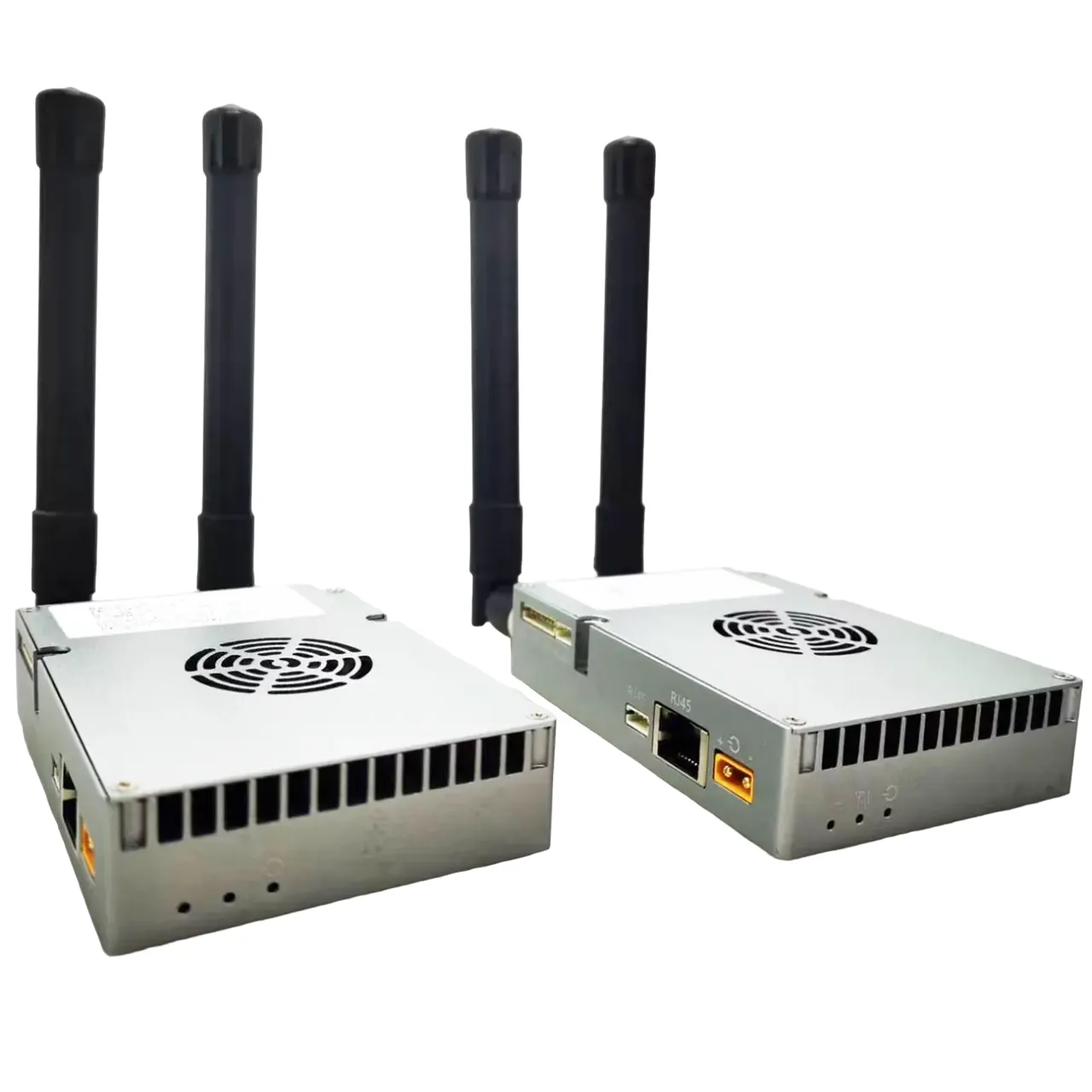
Интеграция с дронове
- Монтаж: Attached via gimbal (stabilized) or fixed bracket.
- Поточно предаване на живо: Transmits thermal video to a ground control station or goggles.
- Data Logging: Saves radiometric data (temperature metadata) for post-analysis.
- Payload Systems: Some drones pair thermal cameras with RGB cameras, Лидар, or gas sensors.
Технически спецификации
| Особеност | Entry-Level | Professional-Grade |
|---|---|---|
| Резолюция | 160×120 to 320×240 | 640×512 or higher |
| Честота на кадрите | 9 Hz | 30–60 Hz (гладко видео) |
| Топлинна чувствителност | ≤50 mK (NETD) | ≤20 mK (sharp detail) |
| точност | ±2°C | ±1°C or better |
Popular Models
- DJI Zenmuse H20T
- Combines 640×512 thermal, 12MP zoom, and laser rangefinder.
- FLIR Vue Pro
- лек (132ж), 336×256 resolution, compatible with drones.
- Autel EVO II Dual 640T
- Dual thermal (640× 512) and 8K visual camera in a consumer drone.
- Teledyne Flir Tau 2
- Military-grade 640×512 sensor for high-stakes missions.
Ползи
- See the Invisible: Operate in total darkness, дим, или мъгла.
- Non-Contact Inspections: Assess hazardous areas safely.
- Quantitative Data: Measure temperatures for predictive maintenance.
- Спестявания от разходи: Prevent failures in energy, Земеделие, or infrastructure.
Ограничения
- Разходи: High-end thermal cameras cost 5,000-20,000+.
- Ограничения за разделителна способност: Lower detail compared to RGB cameras.
- Екологична намеса: Дъжд, прах, or extreme cold can reduce accuracy.
- Наредби: Drone flights may require permits for thermal imaging in certain areas.
Buying Considerations
- Резолюция: Higher resolution (640× 512) for detailed inspections.
- Radiometry: Ensure it captures temperature data (not just images).
- Drone Compatibility: Check weight, gimbal support, and software integration.
- Софтуер: Look for AI analytics (e.g., automatic hotspot detection).
Пример за използване на случай
A firefighting team deploys a drone with a 640×512 thermal camera to map a wildfire. The camera’s ironbow palette highlights intense heat zones (>300° С), while the live feed helps direct water drops and evacuations. Post-flight, the radiometric data identifies smoldering hotspots needing follow-up.
Накратко, а thermal camera for drones transforms aerial platforms into powerful tools for heat-based analysis, bridging the gap between human vision and infrared reality. Whether saving lives or optimizing infrastructure, it unlocks insights that visible light alone cannot provide.

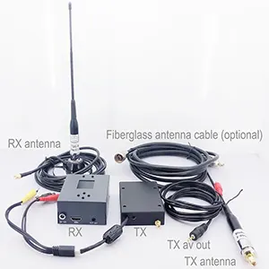
FPV камера
Аналогова термовизионна камера за fpv квадрокоптер дрон инфрачервена камера за нощно виждане
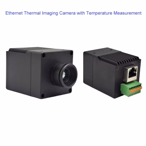


AI IP камера
Видима светлина Термично изображение Камера Двойна светлина Камера Основен модул Ethernet IP изход