


Một thermal camera for drones is a specialized imaging device that captures infrared radiation (nhiệt) instead of visible light, enabling the detection of temperature differences in objects and environments. Khi được gắn trên máy bay không người lái, it provides real-time aerial thermal imaging for applications like search and rescue, Kiểm tra cơ sở hạ tầng, chữa cháy, and wildlife monitoring. Đây là một sự cố chi tiết:
Các thành phần chính
- Thermal Sensor
- Sử dụng một microbolometer to detect infrared radiation (wavelengths: 81414 μm).
- Nghị quyết chung: 160×120 (low-end) đến 640× 512 (high-end).
- Phạm vi nhiệt độ: Tiêu biểu -40°C to +550°C (expandable to +2000°C for industrial use).
- ống kính
- Made of germani (Truyền ánh sáng IR) with fixed or adjustable focal lengths (VÍ DỤ., 9mm, 13mm).
- Trường nhìn rộng (FoV) for broad coverage or narrow FoV for detailed inspections.
- Software Integration
- Real-time temperature analysis (VÍ DỤ., spot meters, area alerts).
- Color palettes (cung sắt, grayscale, fusion with visible-light images).
- Drone Compatibility
- Designed for popular platforms like DJI Matrice, Autel EVO, or custom FPV drones.
- nhẹ (100–300g) to avoid exceeding drone payload limits.
Top Applications
- Tìm kiếm và giải cứu (SAR)
- Locate missing persons or animals in darkness, sương mù, or dense foliage.
- Đám cháy
- Identify hotspots in wildfires or structural fires through smoke.
- Kiểm tra xây dựng
- Phát hiện rò rỉ nhiệt, Lỗi điện, or HVAC inefficiencies.
- Nông nghiệp
- Monitor crop health, irrigation leaks, or livestock.
- Wildlife Conservation
- Track animals at night without disturbing them.
- Kiểm tra công nghiệp
- Survey solar panels, đường ống, or power lines for defects.
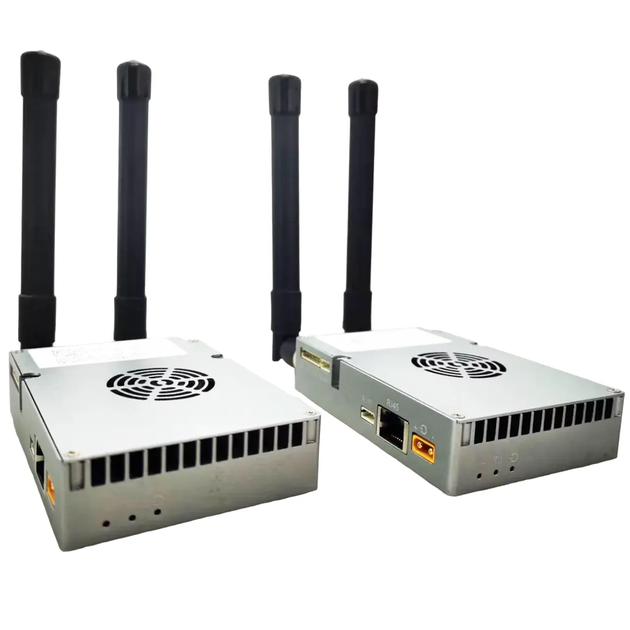
Tích hợp với máy bay không người lái
- Gắn: Attached via gimbal (stabilized) or fixed bracket.
- Phát trực tiếp: Transmits thermal video to a ground control station or goggles.
- Data Logging: Saves radiometric data (temperature metadata) for post-analysis.
- Payload Systems: Some drones pair thermal cameras with RGB cameras, Lidar, or gas sensors.
Thông sô ky thuật
| Đặc tính | Entry-Level | Professional-Grade |
|---|---|---|
| Nghị quyết | 160×120 to 320×240 | 640×512 or higher |
| Tốc độ khung hình | 9 Hz | 30–60 Hz (video mượt mà) |
| Độ nhạy nhiệt | 50 mK (NETD) | ≤20 mK (sharp detail) |
| Sự chính xác | ±2°C | ±1°C or better |
Popular Models
- DJI Zenmuse H20T
- Combines 640×512 thermal, 12MP zoom, and laser rangefinder.
- FLIR Vue Pro
- nhẹ (132g), 336×256 resolution, compatible with drones.
- Autel EVO II Dual 640T
- Dual thermal (640× 512) and 8K visual camera in a consumer drone.
- Teledyne Flir Tau 2
- Military-grade 640×512 sensor for high-stakes missions.
Những lợi ích
- See the Invisible: Operate in total darkness, Khói, hoặc sương mù.
- Non-Contact Inspections: Assess hazardous areas safely.
- Quantitative Data: Measure temperatures for predictive maintenance.
- Tiết kiệm chi phí: Prevent failures in energy, nông nghiệp, or infrastructure.
Giới hạn
- Trị giá: High-end thermal cameras cost 5,000-20,000+.
- Giới hạn độ phân giải: Lower detail compared to RGB cameras.
- Sự can thiệp môi trường: Cơn mưa, bụi, or extreme cold can reduce accuracy.
- Quy định: Drone flights may require permits for thermal imaging in certain areas.
Buying Considerations
- Nghị quyết: Higher resolution (640× 512) for detailed inspections.
- Radiometry: Ensure it captures temperature data (not just images).
- Drone Compatibility: Check weight, gimbal support, and software integration.
- Phần mềm: Look for AI analytics (VÍ DỤ., automatic hotspot detection).
Ví dụ sử dụng trường hợp
A firefighting team deploys a drone with a 640×512 thermal camera to map a wildfire. The camera’s ironbow palette highlights intense heat zones (>300° C), while the live feed helps direct water drops and evacuations. Post-flight, the radiometric data identifies smoldering hotspots needing follow-up.
Nói ngắn gọn, một thermal camera for drones transforms aerial platforms into powerful tools for heat-based analysis, bridging the gap between human vision and infrared reality. Whether saving lives or optimizing infrastructure, it unlocks insights that visible light alone cannot provide.

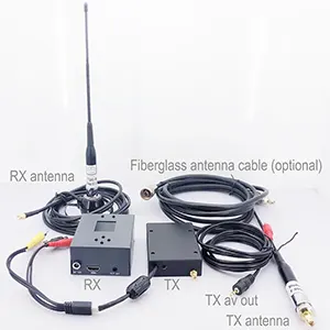
máy ảnh FPV
Camera chụp ảnh nhiệt tương tự cho máy bay không người lái FPV FPV hồng ngoại tầm nhìn ban đêm
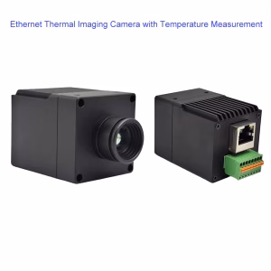


Máy ảnh AI IP
Camera hình ảnh nhiệt có thể nhìn thấy camera camera ánh sáng lõi lõi ethernet đầu ra IP