


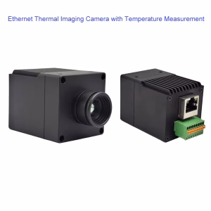
A thermal camera for drones is a specialized imaging device that captures infrared radiation (init) sa halip na nakikitang liwanag, enabling the detection of temperature differences in objects and environments. Kapag naka -mount sa isang drone, it provides real-time aerial thermal imaging for applications like search and rescue, inspeksyon sa imprastraktura, pagsugpo sa sunog, and wildlife monitoring. Narito ang isang detalyadong pagkasira:
Mga pangunahing sangkap
- Thermal Sensor
- Gumagamit ng a microbolometer to detect infrared radiation (wavelengths: 8–14 μm).
- Karaniwang mga resolusyon: 160×120 (low-end) upang 640× 512 (high-end).
- Temperatura hanay: Karaniwan -40°C to +550°C (expandable to +2000°C for industrial use).
- Lens
- Made of Germanium (transmits IR light) with fixed or adjustable focal lengths (hal., 9mm, 13mm).
- Malawak na larangan ng pagtingin (FoV) for broad coverage or narrow FoV for detailed inspections.
- Pagsasama ng Software
- Real-time temperature analysis (hal., spot meters, area alerts).
- Color palettes (ironbow, grayscale, fusion with visible-light images).
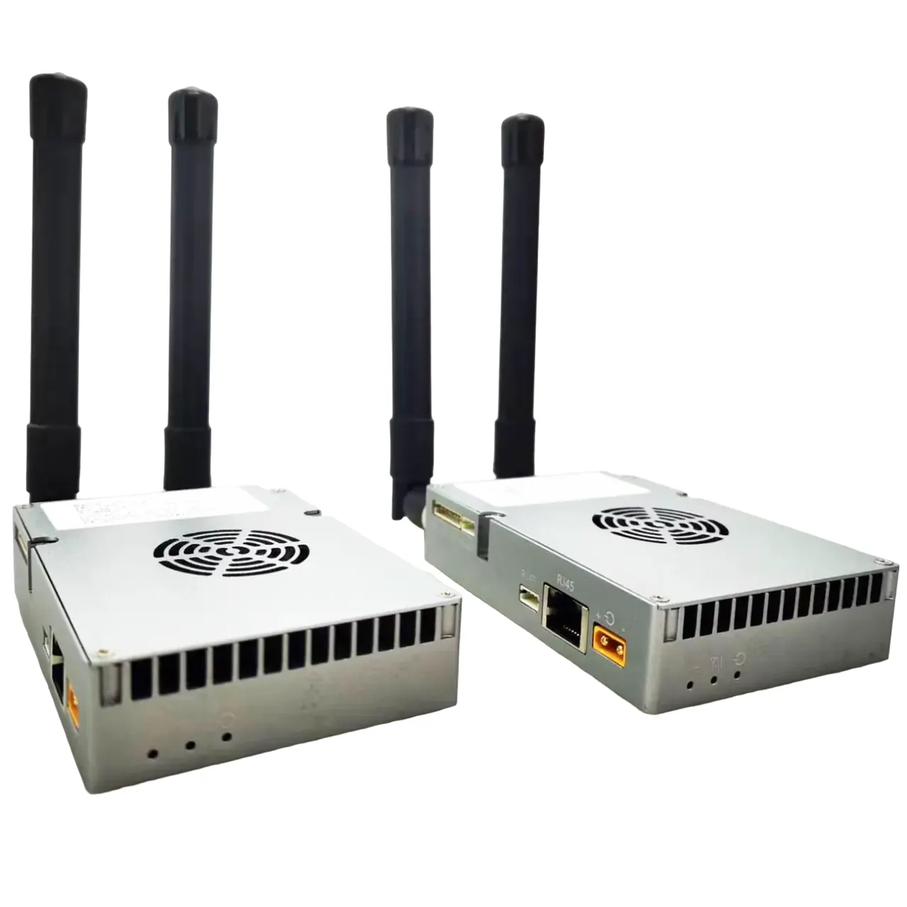
- Drone Compatibility
- Designed for popular platforms like DJI Matrice, Autel EVO, or custom FPV drones.
- Magaan (100–300g) to avoid exceeding drone payload limits.
Top Applications
- Paghahanap at Pagsagip (SAR)
- Locate missing persons or animals in darkness, Hamog, or dense foliage.
- Firefighting
- Identify hotspots in wildfires or structural fires through smoke.
- Building Inspections
- Detect heat leaks, mga de-koryenteng pagkakamali, or HVAC inefficiencies.
- Agrikultura
- Monitor crop health, irrigation leaks, or livestock.
- Wildlife Conservation
- Track animals at night without disturbing them.
- Mga inspeksyon sa industriya
- Survey solar panels, Mga Pipeline, or power lines for defects.
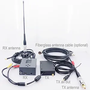
Pagsasama sa mga drone
- Pangangaso: Attached via gimbal (stabilized) or fixed bracket.
- Live streaming: Transmits thermal video to a ground control station or goggles.
- Data Logging: Saves radiometric data (temperature metadata) for post-analysis.
- Payload Systems: Some drones pair thermal cameras with RGB cameras, LiDAR, or gas sensors.
Teknikal na mga pagtutukoy
| Tampok na | Entry-Level | Professional-Grade |
|---|---|---|
| Resolusyon | 160×120 to 320×240 | 640×512 or higher |
| Rate ng frame | 9 hz | 30–60 Hz (Makinis na video) |
| Thermal sensitivity | ≤50 mk (Netd) | ≤20 mK (sharp detail) |
| Kawastuhan | ±2°C | ±1°C or better |
Popular Models
- DJI Zenmuse H20T
- Combines 640×512 thermal, 12MP zoom, and laser rangefinder.
- FLIR Vue Pro
- Magaan (132g), 336×256 resolution, compatible with drones.
- Autel EVO II Dual 640T
- Dual thermal (640× 512) and 8K visual camera in a consumer drone.
- Teledyne FLIR Tau 2
- Military-grade 640×512 sensor for high-stakes missions.
Mga Benepisyo
- See the Invisible: Operate in total darkness, Usok, o fog.
- Non-Contact Inspections: Assess hazardous areas safely.
- Quantitative Data: Measure temperatures for predictive maintenance.
- Pagtitipid sa gastos: Prevent failures in energy, Agrikultura, or infrastructure.
Mga limitasyon
- Gastos: High-end thermal cameras cost 5,000–20,000+.
- Mga limitasyon sa paglutas: Lower detail compared to RGB cameras.
- Environmental Interference: Ulan, alikabok na, or extreme cold can reduce accuracy.
- Mga regulasyon: Drone flights may require permits for thermal imaging in certain areas.
Buying Considerations
- Resolusyon: Mas mataas na resolution (640× 512) for detailed inspections.
- Radiometry: Ensure it captures temperature data (not just images).
- Drone Compatibility: Check weight, gimbal support, and software integration.
- Software: Look for AI analytics (hal., automatic hotspot detection).
Halimbawa Gumamit ng kaso
A firefighting team deploys a drone with a 640×512 thermal camera to map a wildfire. The camera’s ironbow palette highlights intense heat zones (>300°C), while the live feed helps direct water drops and evacuations. Post-flight, the radiometric data identifies smoldering hotspots needing follow-up.
Sa madaling salita, A thermal camera for drones transforms aerial platforms into powerful tools for heat-based analysis, bridging the gap between human vision and infrared reality. Whether saving lives or optimizing infrastructure, it unlocks insights that visible light alone cannot provide.


AI IP Camera
Nakikitang ilaw thermal imaging camera dual light camera core module ethernet IP output